(Associated Press)
Search This Blog
Blog Archive:
Monday, January 19, 2009
Snow Likely for North Georgia
(Associated Press)
Posted by
Name
at
1/19/2009 03:54:00 PM
Thursday, January 15, 2009
Frigid Weather Moves Into Georgia
Combined with winds of 10-15 mph gusting to 20 mph, areas of north Georgia will likely experience wind chills of zero degrees...or colder.
Forecasters say after daytime highs only in the 30’s and 40’s for Friday, tomorrow night's readings could be lower than what Georgia will experience tonight.
Posted by
Edgar Treiguts
at
1/15/2009 01:15:00 PM
Labels: cold weather, Georgia, National Weather Service, weather
Tuesday, January 6, 2009
North Georgia Flood Watch: 3 PM
(National Weather Service, Associated Press)
Posted by
Name
at
1/06/2009 03:19:00 PM
Labels: flood watch, rain, weather
Good Dose of Rain Falls in North Georgia
Posted by
Edgar Treiguts
at
1/06/2009 08:37:00 AM
Labels: forecast, north Georgia, rainfall, weather
Friday, January 2, 2009
State climatologist: north Georgia needs new normal rain measure
Posted by
Edgar Treiguts
at
1/02/2009 07:53:00 AM
Labels: drought, rainfall, state climatologist, weather
Wednesday, September 3, 2008
Augusta prepares for possible Hanna evacuees
As residents along the Atlantic coast brace for what might come with Hanna, Augusta is preparing for evacuees.
The area is prepared to take in up to 1800 evacuees from the Georgia and South Carolina coasts.
The civic center downtown, also known as the James Brown Arena, will open as a shelter at noon on Thursday.
"We'll be bringing in cots and setting up beds in that area," says Jo Maypole, director of the American Red Cross in Augusta. "We're also putting plans together to bring in meals and also counseling, emotional support."
Warren Baptist Church and Wesley United Methodist Church, in Columbia County, will serve as backup shelters.
It appears that, for now, Augusta will be spared severe weather from Hanna, say local officials.
For more information about shelters in the Augusta area, call the American Red Cross at (706) 724-8481.
Posted by
Mary Ellen Cheatham
at
9/03/2008 04:56:00 PM
Hanna watch continues
Officials at the Georgia Emergency Management headquarters in Atlanta are monitoring Hanna to see whether Georgia will be affected. Hanna has been moving slowing and changing direction throughout the day. Current prediction show that it will move towards Myrtle Beach and only effect parts of the Georgia coast. But things can change officials say.
“There are no evacuations voluntary or mandatory at this time," says Kandice Eldon, a GEMA spokesperson.
“ We want residents to still be on alert because things can still change within 24 hours. “
Eldon says equipment and manpower is on stand should the path of the storm change.
Posted by
Susanna Capelouto
at
9/03/2008 04:26:00 PM
UPDATE: Tropical Storm Hanna
Tropical storm Hanna is still headed toward South Carolina. Landfall is expected Friday; however, Georgia Emergency Management Agency officials say, “Hanna’s path can still shift to Georgia.” Overnight the storm did not gain momentum, but scientists predict it will gain speed and strength. By the end of today officials should decide whether or not to issue a voluntary evacuation for coastal residents, especially those residing on the barrier islands.
Posted by
Melissa Stiers
at
9/03/2008 08:33:00 AM
Labels: GEMA, hanna, hurricane, tropical storm Hanna, weather
Tuesday, September 2, 2008
'Hanna' still a threat to Georgia--UPDATE
Kandice Eldon with the Georgia Emergency Management Agency says 50 people from various state agencies are involved right now in preparations. They are tele- and video-conferencing with various coastal emergency officials on the latest storm plans.
Eldon says residents along Georgia’s coast need to be just as aware to the storm’s track as yesterday:
"We are not out of the clear in Georgia at all. We are still under preparation for a direct hit or even from winds and rains that can come because of the proximity of the storm to Georgia".
Eldon says coastal officals have been asking questions of those with the state:
"What should we do next? If this storm does directly hit us, what should we be planning for? Discussions are being made regarding the possibility of evacuations or if the storm is not that strong…to move the people inland”".
Some forecast models have 'Hanna' hitting Georgia’s coast on Friday.
Eldon says GEMA’s storm center as of early this afternoon was not quite at full operating mode, but is close to it.
Posted by
Edgar Treiguts
at
9/02/2008 11:17:00 AM
Labels: coastal Georgia, GEMA, tropical storm Hanna, weather
Friday, August 22, 2008
UPDATE-'Fay' affect on southern Georgia
Flash flood and flood watches in effect for southeast, south-central and southwest Georgia through Friday night.
Wind advisories are in effect for much of central and southeast Georgia through Saturday night.
Rainfall amounts across south Georgia could reach 10 inches in some areas. Wind gusts this morning have been reported to be hitting the 30 mph range.
School closings for Friday:
- Camden County schools
- Glynn County schools
- McIntosh County schools
- Valdosta city schools
- Benedictine Military School
Posted by
Edgar Treiguts
at
8/22/2008 08:36:00 AM
Labels: flooding, rain, school closings, South Georgia, tropical storm fay, weather
Monday, June 9, 2008
Record highs set in some parts of Georgia Sunday
Posted by
Edgar Treiguts
at
6/09/2008 08:36:00 AM
Labels: Athens, Columbus, Georgia, high temperatures, Macon, weather
Thursday, March 20, 2008
Stormy weather forces street re-closures in Atlanta
Posted by
Edgar Treiguts
at
3/20/2008 08:48:00 AM
Labels: Atlanta tornado, storm cleanup, tornado damage, weather
Tuesday, January 29, 2008
Wind advisory for the state tonight
The National Weather Service says winds of 20 to 30 miles-per-hour can be expected, with gusts reaching 50 mph. Forecasters say the extreme northeast corner of the state could get gusts above 50 mph.
An approaching cold front is expected to bring rain for most of north Georgia along with the high winds. Forecasters say overnight rainfall amounts should average a half to one inch before the rain ends Wednesday morning.
Posted by
Edgar Treiguts
at
1/29/2008 12:04:00 PM
Labels: National Weather Service, north Georgia, weather, wind advisory, wind gusts
Thursday, January 3, 2008
Warmer weather expected
Posted by
Name
at
1/03/2008 03:33:00 PM
Tuesday, January 1, 2008
State gets cold weather to open '08
Posted by
Edgar Treiguts
at
1/01/2008 07:40:00 AM
Labels: cold weather, National Weather Service, temperatures, weather
Tuesday, August 7, 2007
Hot and humid hangs over Georgia
The heat index combines temperatures and humidity--those readings showed 114 in parts of southeast Georgia, and 107 at the Savannah airport.
Posted by
Edgar Treiguts
at
8/07/2007 08:22:00 AM
Labels: heat index, humidity, weather
Thursday, April 19, 2007
State tightens faucet as drought worsens (Updated)

Officials ratcheted up watering restrictions from level 1 to level 2 Wednesday as dry conditions widened across the state.
Georgia residents are now allowed to water their lawns only between midnight and 10 a.m.
Violators in Jones County are subject to a graduated series of verbal and written warnings, and increasing fines in upwards of $500.
The state has been in a level 1 drought since last summer, and midday watering was already forbidden between 10 a.m. and 4 p.m.
The state climatologist says the driest areas include Polk, Floyd, Chattooga, Walker, Dade and Catoosa counties in northwest Georgia. Also dry are the counties lining the most southeastern corner of the state.
Firefighters in southeast Georgia are struggling to contain two wildfires that are engulfing 45-sq. miles. The blazes forced over 1,000 people from their homes, and torched 14 houses.
Eric Mosley, spokesman for the Georgia Forestry Commission says the fires are threatening the Okefenokee National Wildlife Refuge.
Updated GPB reports on the fires are here.
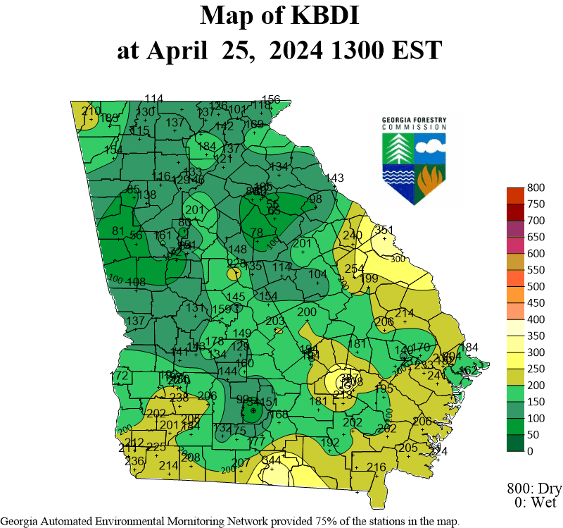
Updated Georgia Forestry Commission Fire Weather information is here.
(Rickey Bevington contributed to this report)
